 to add an item to your Itinerary basket.

You are here: Do > Wychwood Circular Walks


About
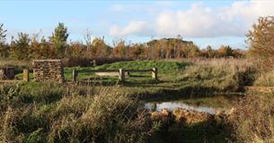
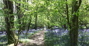
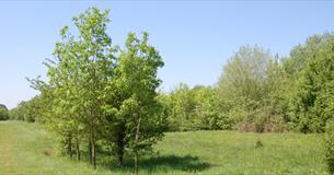
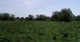
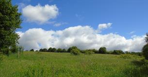
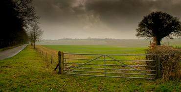
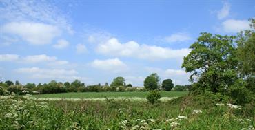
The Wychwood Way is a 59 km (37 mile) circular trail following waymarked rights of way around the heart of the ancient Royal Forest of Wychwood in Oxfordshire. The trail is a celebration of 1000 years in the life of this very special area and was designed to highlight some of the most interesting historic landscape patterns and features, habitats and traditional forms of management within the former forest area.
Routes include:
- Charlbury and Fawler (7 miles)
- Charlbury and Spelsbury (5 miles)
- Chadlington and Spelsbury (6 miles)
- Ascott under Wychwood and Chadlington (7 miles)
- Finstock and Ramsden (4.5 miles)
- North Leigh - East End (4 miles)
- North Leigh - Wilcote (5 miles)
- Woodstock - Wootton (7 miles)
- Wychwood Way and Chadlington (3.5 miles)
Maps and directions can be downloaded from Oxfordshire County Council's website.
The Wychwood Way Guide is a 65 page, softback, full colour walking guide, by Alan Spicer and Mary Webb.
This beautifully photographed walking guidebook takes the reader on a journey through time, from the evidence of the very earliest, pre-historic settlers through to the present day. The new edition (2022) is a handy pocket DL size brochure, with detailed walking directions for the whole of the Wychwood Way, supported by maps and SP map references. Also included in this edition are 10 shorter circular walks linked to the Wychwood Way of between 3 and 7 miles - some stile free. The Guide can be purchased here and costs £6 plus delivery charges.